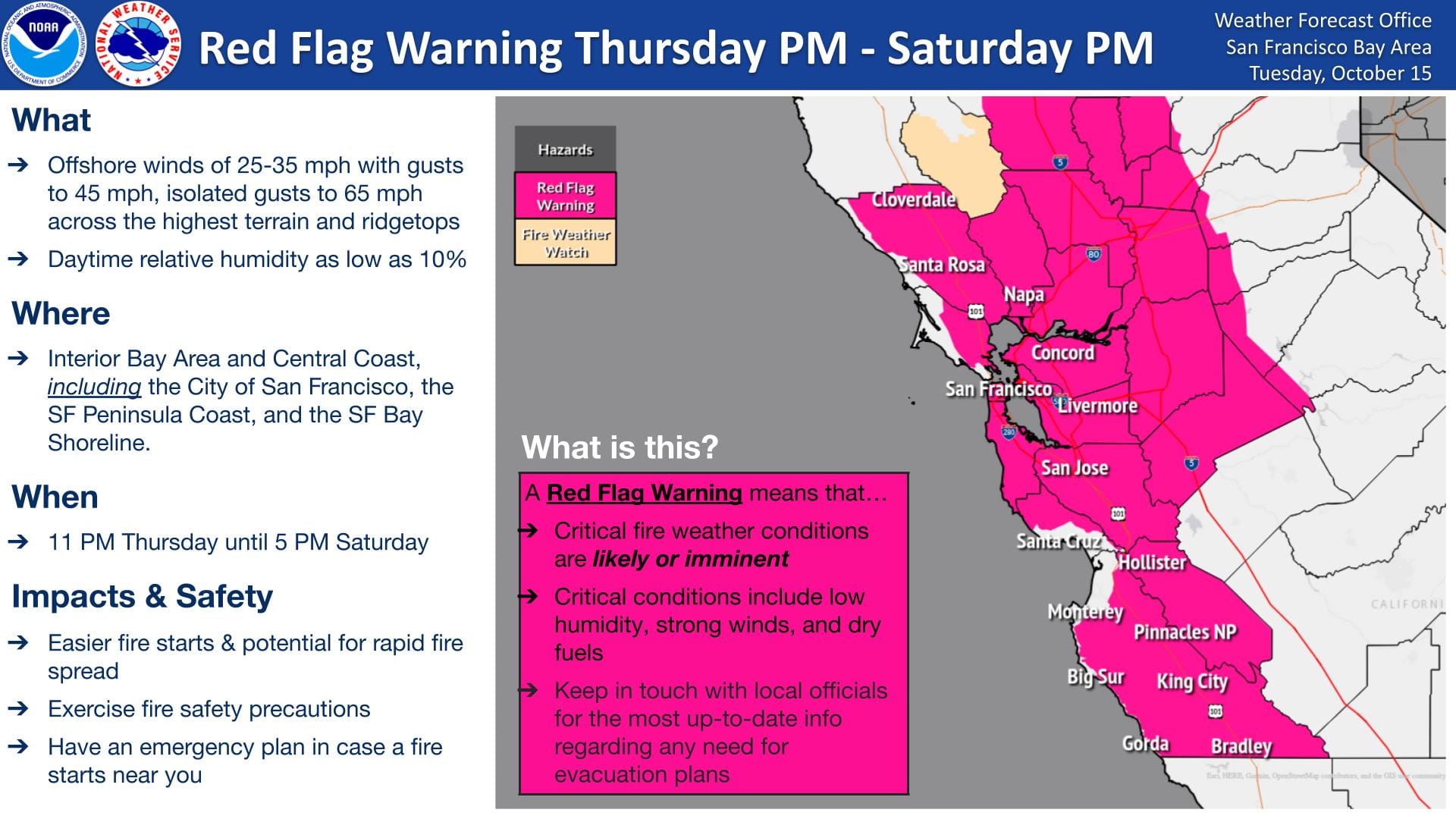
Red Flag Warning in Berkeley from Thursday to Saturday
The National Weather Service forecasts "critical fire weather conditions" from Thursday night into Saturday evening. Here's what you need to know.

"Red Flag" conditions are expected in Berkeley from Thursday at 11 p.m. until Saturday at 5 p.m. "due to strong offshore winds and dry conditions."
"Red Flag Warnings are an early indicator of fire risk," the city said Tuesday in a prepared statement. "They are not as severe as 'Extreme Fire Weather' days, rare conditions underlying many of California’s most destructive fires."
- Leave your phone on
- Park off the street to leave roads clear for emergency vehicles
- Bookmark Berkeley's emergency map
Help prevent fires
- Use extreme caution when operating BBQs, power equipment or other heat sources, such as idling cars.
- Remember that fireworks are illegal in Berkeley and surrounding areas.

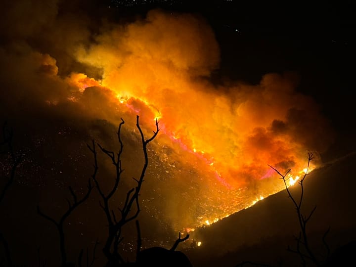
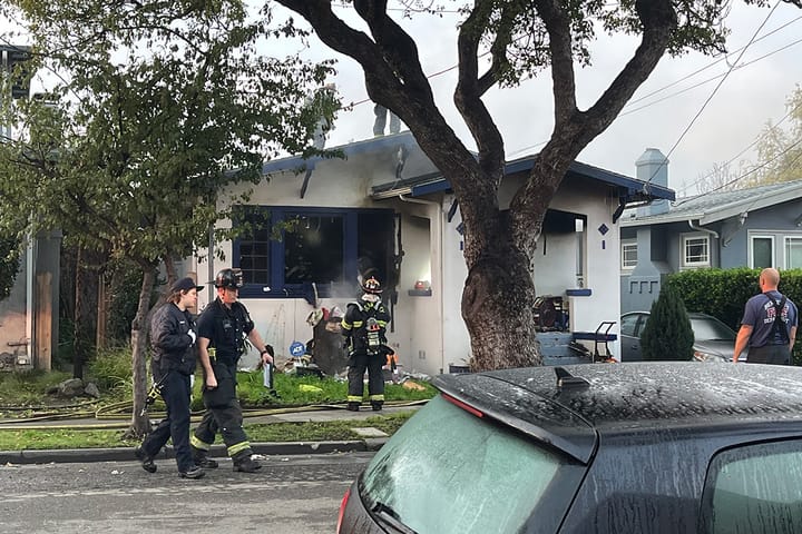
Prepare now for wildfire, possible evacuations
Wildfires have become more "frequent, destructive and fast-moving" than ever, the city said Friday. "Berkeley residents must change how we prepare and respond."
Take control before a fire starts by following these simple steps.
- Sign up for AC Alert on all your devices
- Leave your phone on to get alerts even when you are sleeping
- Do not use the "do not disturb" mode during high-risk weather
- Bookmark Berkeley’s emergency map:
- Download the Genasys Protect App to get real-time alerts about emergencies
- Find your evacuation zone on the Berkeley emergency map website, which will be referenced in AC Alert evacuation messages. (Example: "BER-E044" is Berkeley Zone 44)
- Put your go-bag by the front door
- Plan multiple evacuation routes, including two by foot
- Park off-street, leaving streets clear for emergency vehicles
- Back your car into your driveway or garage to make for an easier exit
Other resources from the city
- Fire weather and evacuation resources
- Use the city's fire weather planning tool to decide when you’ll leave, where you’ll stay and what you’ll pack
- Visit FireSafe Berkeley to learn about programs to protect your property and community
- Learn more about the city’s emergency alerting tools, such as the new outdoor warning system